The Washington Coast

Sea stacks, rainforest, and 70-plus miles of wild Pacific shoreline. Your complete guide to Grays Harbor County, Forks, and the coastal strip of Olympic National Park.

Welcome

The Washington coast is not one destination, it is a string of them: a working fishing port, a beach town built for kite flying and razor clams, a rainforest that gets over 100 inches of rain a year, and a stretch of Olympic National Park where sea stacks rise straight out of the surf. This guide covers all of it, town by town, so you can plan a trip that actually fits how you want to travel.

70+ miof protected wilderness coastline
2.5-3 hrsfrom Seattle or Portland
6distinct coastal regions to explore
Year-roundstorm watching, whales, and beaches

Where to Go

Six places, one coast

Each area has its own character. Most first-time visitors combine two or three of these into a single road trip along US-101 and SR-109.
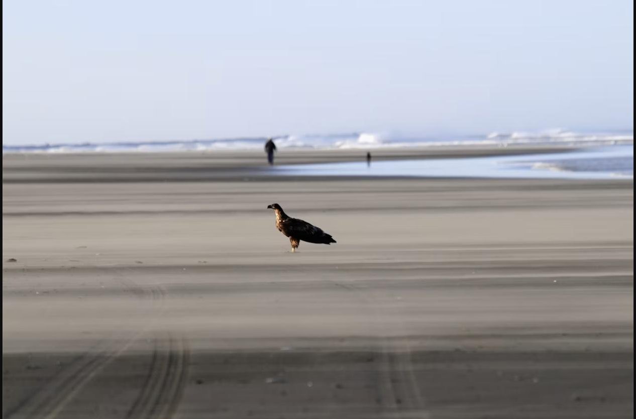
Wide sandy beach at Ocean Shores, Washington, with tire tracks in the sand

Grays Harbor County

Ocean Shores & Grays Harbor

The region's biggest beach-vacation base. Wide drivable sand, kite festivals, razor clamming, and the most lodging on the coast, plus Aberdeen, Hoquiam, and the shorebird refuge.

Explore Ocean Shores →
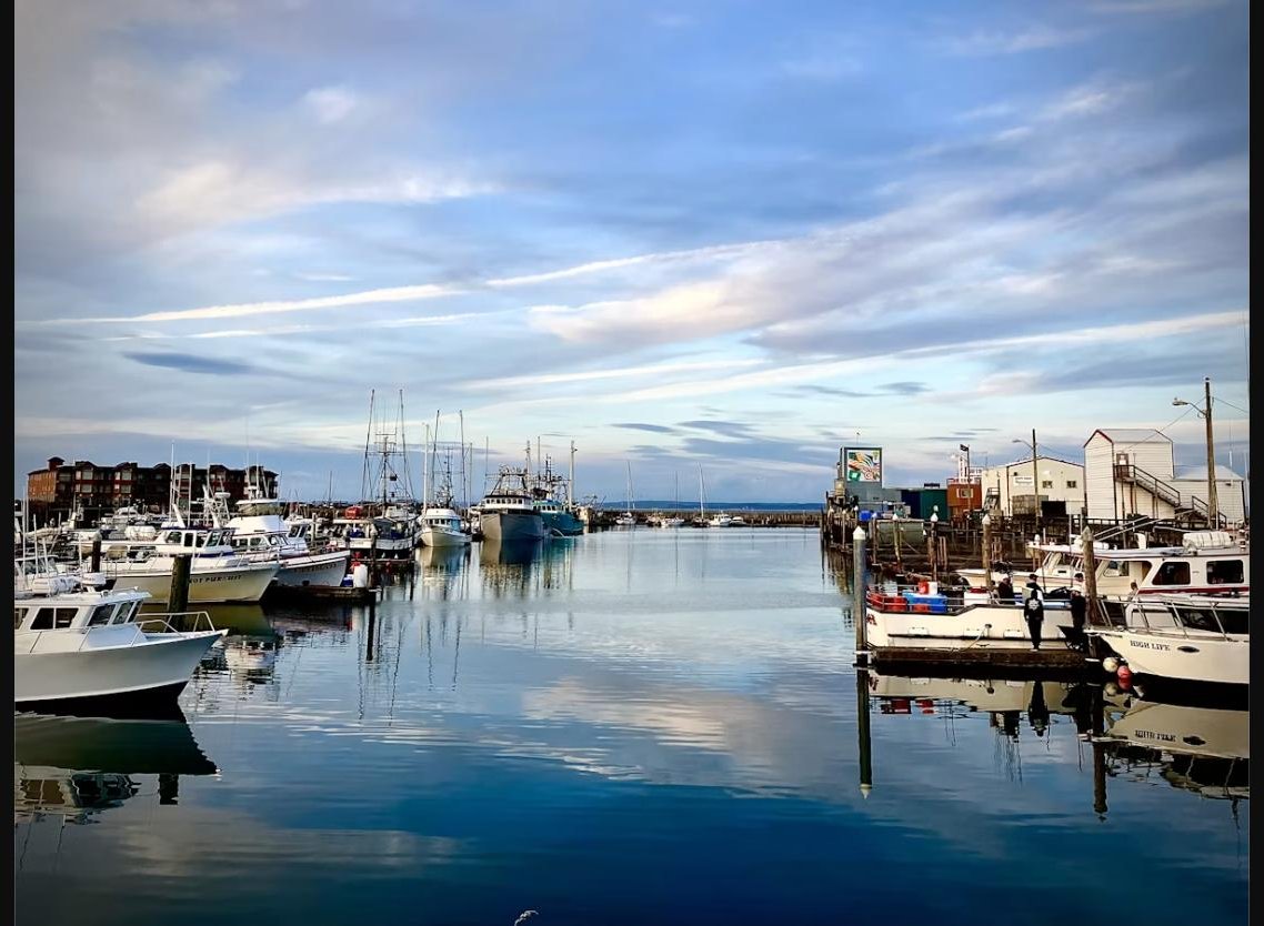
Fishing boats docked in the harbor at Westport, Washington at sunset

Grays Harbor County

Westport

Washington's best surf town and the self-proclaimed Salmon Capital of the World. Charter boats, the tallest lighthouse in the state, and the coast's best storm-watching tower.

Explore Westport →
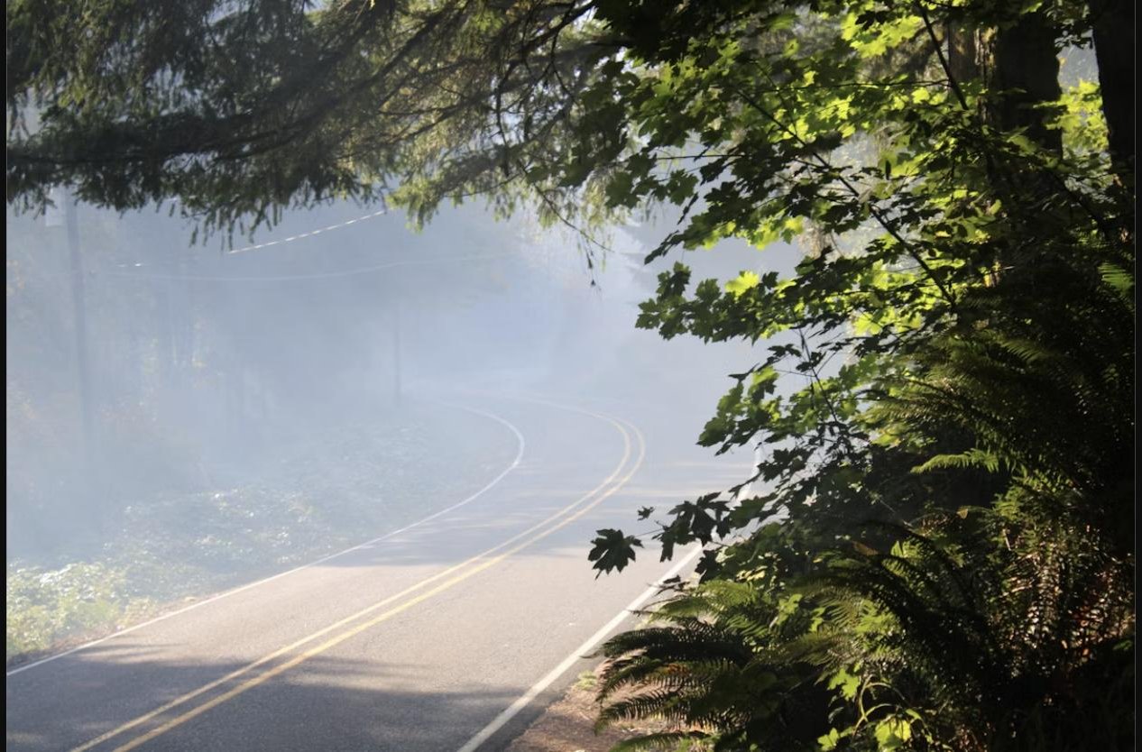
Misty forest road near Forks, Washington

Olympic Peninsula

Forks

The rainiest town in the Lower 48 and the gateway to the Hoh Rainforest and the park's northern beaches. Home base for hikers, and famous well beyond that for Twilight fans.

Explore Forks →
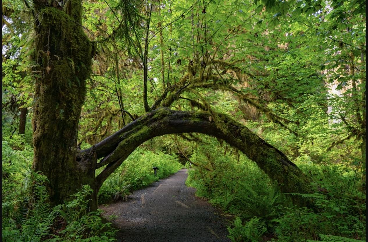
Moss-draped bigleaf maple trees along a trail in a Pacific Northwest temperate rainforest

Olympic National Park

Olympic National Park Coast

Kalaloch, Ruby Beach, and the Hoh Rainforest. The postcard version of this coast: sea stacks, driftwood, moss-hung trees, and the lodges that put you inside all of it.

Explore the Park Coast →
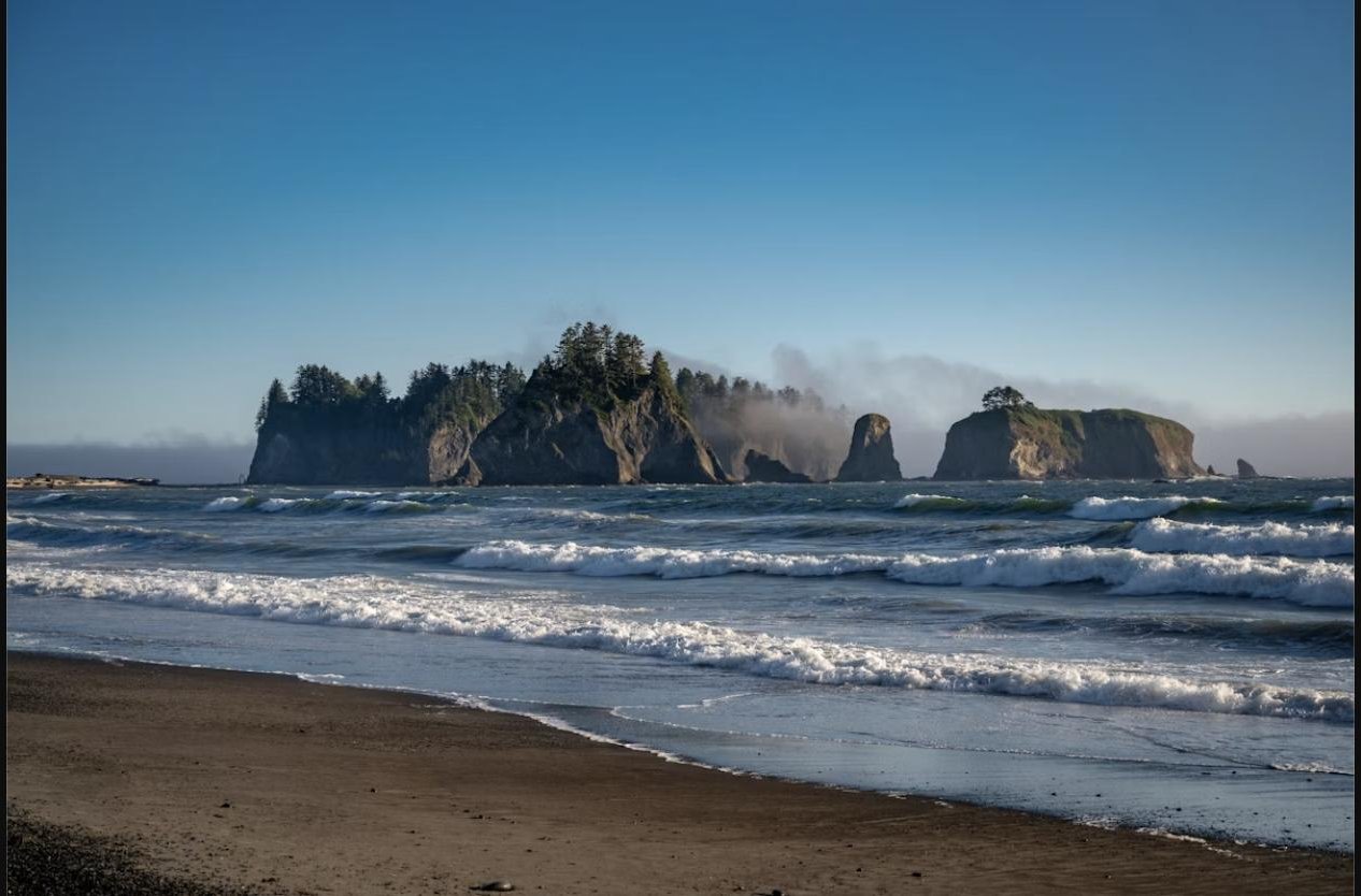
Sea stacks and waves at First Beach, La Push, Washington

Quileute Nation

La Push & Rialto Beach

Second Beach, Third Beach, Rialto's Hole-in-the-Wall, and the village at the mouth of the Quillayute River. Some of the most photographed sea stacks on this entire coast.

Explore La Push →
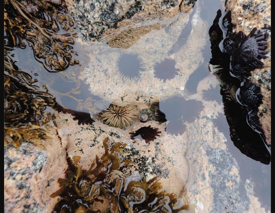
Sea urchins and anemones in a tide pool on the Washington coast

Plan Ahead

Things to Do

Razor clamming, storm watching, whale watching, surfing, tide pooling, and hiking, organized by season so you know exactly when to come for what you want to do.

See All Activities →

Want this in your pocket?

Get the free Washington Coast Visitor Guide by email, a PDF with the maps, seasonal tips, and town-by-town breakdown from this site.

Get the Free Guide

Quick Facts

Before you go

Getting hereNo commercial airport on the coast itself. Drive in from Seattle-Tacoma (SEA) or Portland (PDX), roughly 2.5 to 3.5 hours depending on your destination town. See Plan Your Trip for routes.
Best time to visitJuly through September for the driest, sunniest weather. Late fall and winter bring storm watching and the best razor clamming; spring brings whale migration and wildflowers.
Olympic National Park entryA per-vehicle entrance fee applies at Kalaloch, Hoh, and other park units. Check current pricing and any fee-free days at nps.gov/olym before you go.
Cell serviceSpotty to nonexistent through much of the park and along stretches of US-101. Download offline maps and tell someone your route before you head out to the beaches or trailheads.

Free Download

Get the Washington Coast Visitor Guide

A free PDF covering every town on this site, a suggested itinerary, and the practical stuff (fees, seasons, phone numbers) in one place you can save to your phone.

Send Me the Free Guide